


地质遗迹及保育概述
General geological description of the aUGGp
地址:甘肃省临夏回族自治州临夏市红园街道红园新村路北八巷24号
Address:NO. No.24 Hongyuanxincun Road North 8th Alley Gansu Linxia Linxia
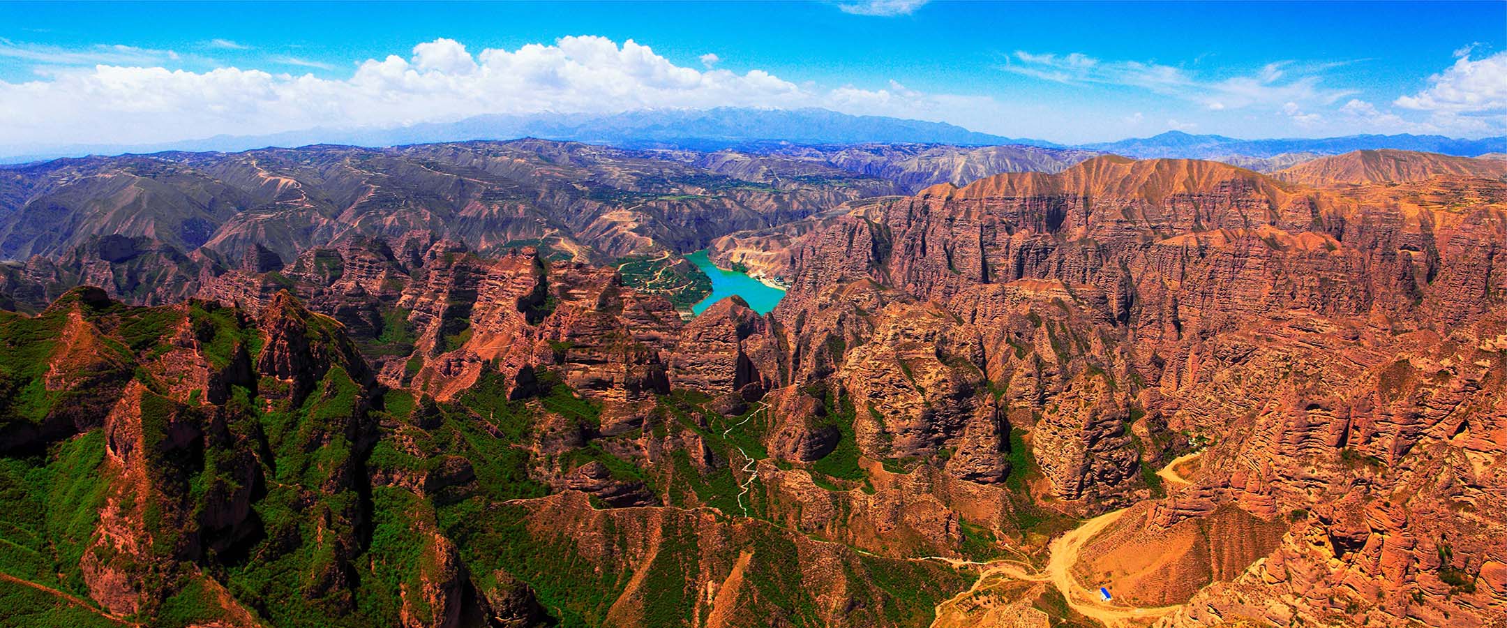
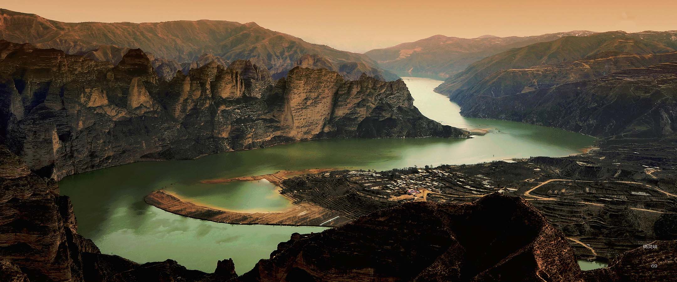
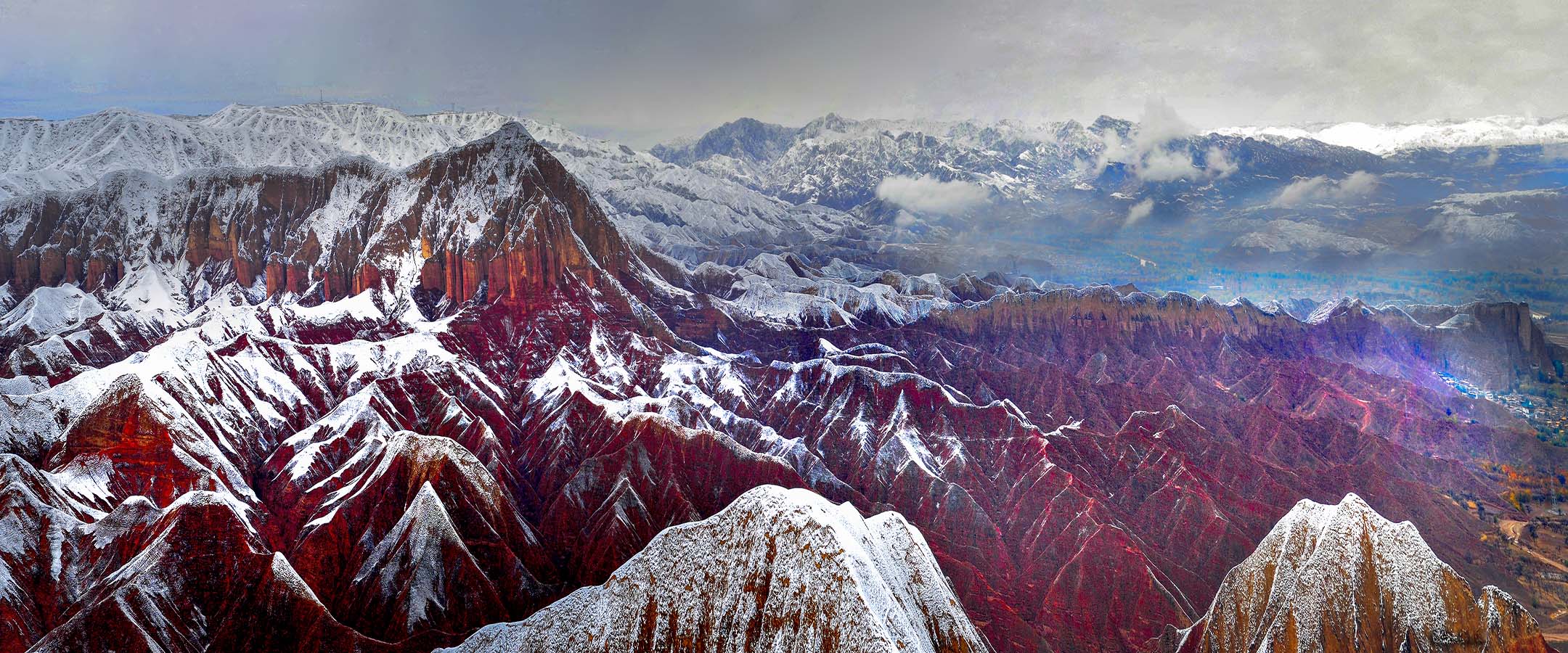
临夏地质公园大地构造位置位于西秦岭地块北部的太子山褶断带东侧;地处天水—临夏断陷盆地南缘。区内地质建造与构造相对简单。 岩浆岩:地质公园属加里东期和燕山期的构造岩浆岩区,区内岩浆活动以早古生代岩浆作用为主,中生代岩浆作用为辅。公园内奥陶纪侵入岩较发育,主要岩性为花岗闪长岩、石英闪长岩、闪长岩等;侏罗纪侵入岩分布于地质公园邻近区域。火山岩见于公园东北角奥陶纪雾宿山群中,岩性特征为灰绿色、绿灰色斑状玻基玄武岩、玄武岩、橄榄玄武岩、玄武安山岩、熔结火山角砾岩、流纹质凝灰岩。 地质构造:地质公园位于临夏盆地,公园内的地质构造相对简单。临夏盆地是一个以雷积山深大断裂、秦岭北深大断裂和祁连山东延余脉马衔山围成的一个具有山前拗陷性质的盆地,属新近纪大型陇中盆地的西南隅。临夏盆地内沉积了连续的晚新生代地层,其产状基本水平,构造变形总体上不明显。但盆地西南部由于受积石山断裂和西秦岭北缘断裂的控制和影响,自大约 8 百万年前开始由西向东向盆地内部扩展,形成一个北北西向的不对称背斜构造,背斜东翼发育生长地层和生长不整合,记录了青藏高原向北东方向的扩展过程。 古近纪,气候炎热干燥,古新统和始新统为一套以褐红色为特征的陆相碎屑岩建造;始新统和渐新统为以桔红色、砖红色及夹大量石膏层为主要特征的陆相碎屑岩建造;晚渐新世晚7期该区转为浅湖环境,直至中新世,这里都是温暖湿润的湖泊环境。该区哺乳动物的演化经历了晚渐新世巨犀动物群、中中新世铲齿象动物群、晚中新世三趾马动物群三个阶段。从上新世中期开始,青藏高原快速隆升,该区出现挤压、掀斜的构造变形。从第四纪的早更新世开始,该区湖泊逐渐消亡,黄河开始出现,早更新世真马动物群开始繁盛。但随着第四纪气候的频繁波动,真马动物群灭绝,至晚更新世晚期,该区沉积大面积的风积黄土;全新世以后,气候转暖,大量古人类在这里生存,留下了众多文化遗存。
Linxia Geopark is located on the east side of the Taizishan fold fault zone in the northern part of the West Qinling block, on the southern edge of the Tianshui-Linxia fault basin. The geological formation and structure in the area are relatively simple. Magmatic rock: The geopark belongs to the Caledonian and the Yanshanian tectonic magmatic rock area. The magmatic activity is dominated by Early Paleozoic magmatism, supplemented by Mesozoic magmatism. The Ordovician intrusive rocks in the park are relatively developed, and the main rocks are granodiorite, quartz diorite, diorite, etc. Jurassic intrusive rocks are distributed in the vicinity of the geopark. Volcanic rocks are only seen in the Ordovician Wusushan Group in the northeast corner of the geopark. The rock units are mainly composed of gray-green, green-gray porphyritic glassy basalt, basalt, olivine basalt, basaltic andesite, weld volcanic breccia and rhyolite tuff. Paleoproterozoic strata and the strata are the Maxianshan Group (Pt1M.). The main rock types are Geological structure: The geopark is located in the Linxia Basin and its geological structure is North Fault and Maxianshan of Qilian Mountain, and is in southwest corner of the large Longzhong near-horizontal occurrence and generally unapparent structural deformation. However, the boundary fault of the West Qinling, since ~8Myr ago, has expanded from west to east to the interior developed growth strata and growth unconformities, recording the time and process of the Geological development history: The geological history of the geopark can be traced back since the Cretaceous. During the Cretaceous, this area has evolved into an inland basin, forming Movement at the end of the Late Cretaceous terminated the sedimentation history of the wide folds, thrust faults in the basin margin, intra-basin reverse and normal faults. As a result, the unconformity. The Cenozoic development history of the geopark is the evolution history of the Linxia Basin and of the mammals. In the Paleogene, the climate is hot and dry, the strata is primarily terrestrial clastic rocks characterized by orange-red, brick red rocks with a large and until the Miocene, was always in a warm and humid lake environment. The mammals in this platybelodon fauna and the late Miocene hipparion fauna. Since the middle Pliocene, owing to the deformation. From the early Pleistocene of the Quaternary, the lakes in the area gradually With the frequent fluctuations of the Quaternary climate, the equus fauna was extinct. By the late after the last glacial period, a great deal of ancient humans lived here, left many ancient human
